
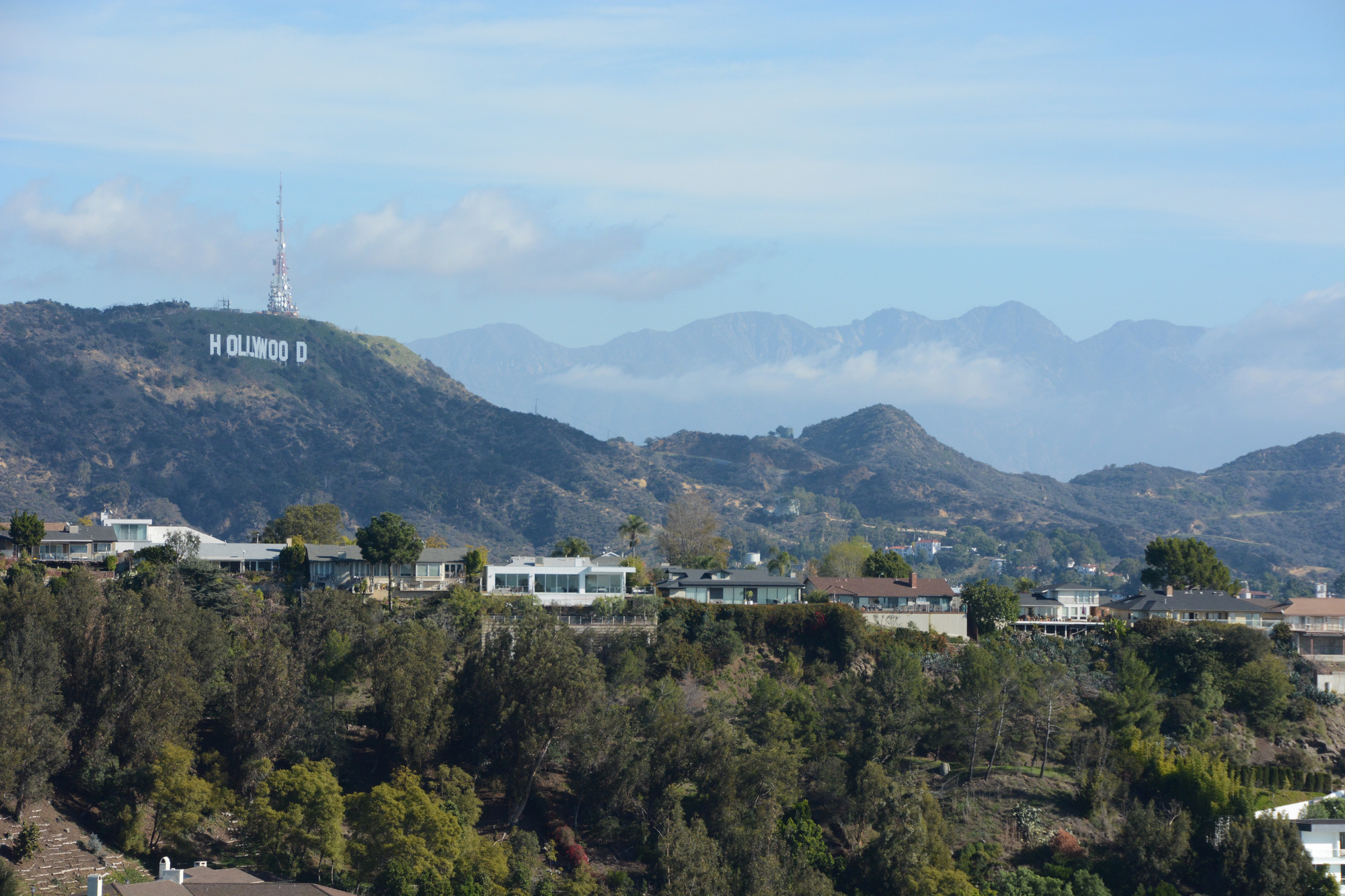
You may or may not know that hiking is a THING (like brunching is a thing) in Los Angeles. With the Santa Monica Mountains starting in Griffith Park on the East end and continuing all the way to Point Mugu in the West, not to mention the Angeles National Forest to the North, there are a lot of hiking trails and hidden wilderness with in a few miles from the heart of the city.
Here are a few trails close to the NB Guest Studio:
Runyon Canyon [ Directions via Google Map ]
At 2.2 miles from our front door, Runyon Canyon is a 10 minute drive (in normal LA traffic) or a 24 minute bus ride away. A hike in Runyon Canyon is more like a sight seeing trip in Hollywood than a time to reflect and reconnect with nature, but if you are interested in packing in some low impact Hollywood Vibe with your great views of the city scape and possibly a B List celebrity sighting, then this activity packs it all in.
Bronson Canyon [ Directions via Google Map ]
Approximately 5 miles from our front door, A Bronson Canyon hike is a great activity to share with kids, or kids at heart. At its base is a playground and picnic area and on the hike you will find lots of recognizable movie locations and even Batman’s Cave from the 1960’s Batman TV series!
Jeff Hester has written up a great photo rich guide to hiking through Bronson Canyon Park to the Hollywood sign!
Griffith Observatory West Trail Loop [ Directions via Google Map ]
Approximately 5 miles from our front door, West Trail Loop is another easy kid friendly hike that incorporates views of the city, the Griffith Park Observatory and the Hollywood sign. You start off in a playground with a great little cafe lunch spot called The Trails Cafe and then head out for a 1 mile hike.
Casey Shreiner has written up a great guide to this hike.
Brush Canyon Trail [ Directions via Google Map ]
Approximately 5 miles from our front door, Brush Canyon Trail is peaceful and quiet and full of great views of Los Angeles. This is supposed to be the hike to go on to get a great view of the back of the Hollywood sign.
National Geographic has a collection of hiker reviews of the trail
Franklin Canyon Park [ Directions via Google Map ]
This National Park Service description says it all – and has maps to boot. Trails range from the hike from the parking lot to the playground to a hike up to the top of the mountain for panoramic views of the city and the valley.
If you are looking for something a little further than a hop skip and a jump from our front door, check out these comprehensive resources:
National Park Service Guide to the Santa Monica Mountains
Discover Los Angeles’s Guide to the Best Hiking Trails in Los Angeles